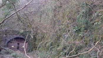
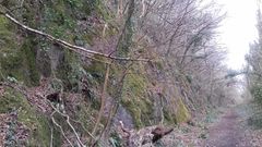
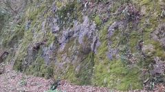
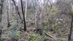
Taffs West Railway Cutting
From South Wales Climbing Wiki
| Taffs West Railway Cutting | |
 | |
| Rock Type | Quarried Carboniferous Limestone |
|---|---|
| Climbing Style | Undeveloped |
| Approach Time | |
| Area | Inland Limestone |
| Geodata | |
| WGS-84 Location | 51.535709, -3.263316 |
| OS Grid Ref. | ST 124 826 |
| WGS-84 Parking Location | |
| GR Parking Location | |
| Base Elevation | 68 metres (SRTM Estimation) |
| General Info | |
| Faces Direction | |
| Aspect | |
| Wind Sheltered | |
| Climbing Type | |
| Seepage | |
| Crags Within 10.0 km | |
|
Brittania Quarry, Castle Quarry, Coedcaerau-bach, Cox's Quarry, Cwm Leyshon Quarry, Glynfach, Golf Club Crag, Llanbradach Lower Tier, Llanbradach Upper Tier, Llantrisant Drugs Cliff, Porth, Secret Taffs Well, Senghenydd, Sirhowy - Quarry Mawr, Sugardaddy Gasworks, Taffs Well, Taffs Well Pinnacle, Taffs Well West, Taffs West Railway Cutting, The Darren, Trehafod, Tyn-y-coed, Wenvoe Quarry, Ynyshir Quarry | |


